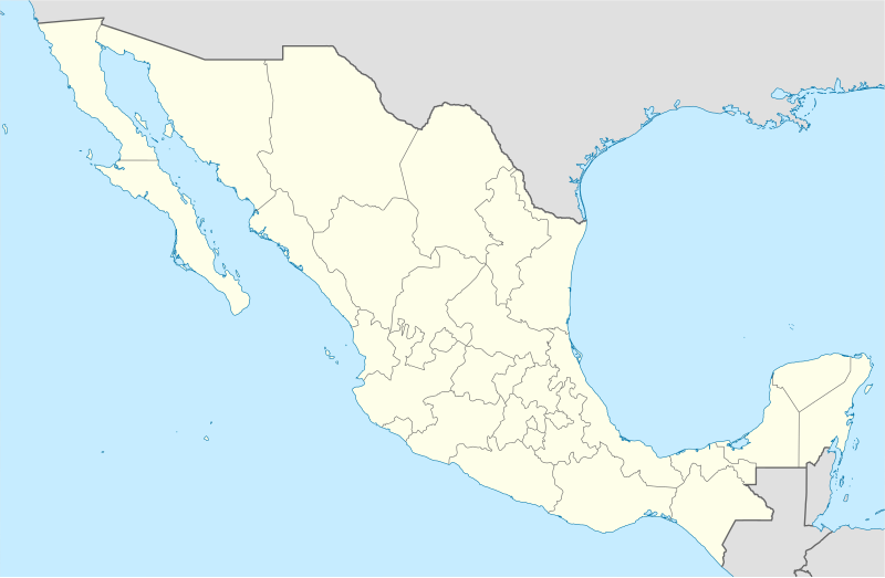
Fayl:Mexico States blank map.svg

Size of this PNG preview of this SVG file: 800 × 523 piksel. Boshqa oʻlchamlari: 320 × 209 piksel | 640 × 418 piksel | 1 024 × 669 piksel | 1 280 × 837 piksel | 2 560 × 1 673 piksel | 2 029 × 1 326 piksel.
Asl fayl (SVG fayl, asl oʻlchamlari 2 029 × 1 326 piksel, fayl hajmi: 473 KB)
Fayl tarixi
Faylning biror paytdagi holatini koʻrish uchun tegishli sana/vaqtga bosingiz.
| Sana/Vaqt | Miniatura | Oʻlchamlari | Foydalanuvchi | Izoh | |
|---|---|---|---|---|---|
| joriy | 15:41, 2010-yil 13-avgust |  | 2 029 × 1 326 (473 KB) | Kmusser | Try that again |
| 15:41, 2010-yil 13-avgust |  | 975 × 654 (361 KB) | Kmusser | change projection to match that used at File:Mexico location map.svg so should be more accurate for pushpins, also reverted Yucatan boundary change to match Mexican government maps. | |
| 11:58, 2009-yil 25-may |  | 975 × 654 (361 KB) | Sémhur | Modify border south between Quintana Roo and Campeche | |
| 08:31, 2009-yil 24-may |  | 975 × 654 (361 KB) | Sémhur | Adding Yucatan states | |
| 12:57, 2008-yil 24-sentyabr |  | 975 × 654 (330 KB) | Sémhur | new try | |
| 12:40, 2008-yil 24-sentyabr |  | 975 × 654 (328 KB) | Sémhur | Thiner strokes | |
| 12:37, 2008-yil 24-sentyabr |  | 975 × 654 (328 KB) | Sémhur | {{Information |Description= {{en|Map of Mexico, with states borders.}} {{es|Mapa de Mexico, con los límites de los estados.}} {{fr|Carte du Mexique, avec les limites des états.}} |Source=Travail personnel / Own work. Source : * [[:Image:Mexico blank.sv |
Fayllarga ishoratlar
Bu faylga quyidagi 3 sahifalar bogʻlangan:
Faylning global foydalanilishi
Ushbu fayl quyidagi vikilarda ishlatilyapti:
- af.wikipedia.org loyihasida foydalanilishi
- am.wikipedia.org loyihasida foydalanilishi
- ar.wikipedia.org loyihasida foydalanilishi
- ast.wikipedia.org loyihasida foydalanilishi
- azb.wikipedia.org loyihasida foydalanilishi
- ban.wikipedia.org loyihasida foydalanilishi
- bcl.wikipedia.org loyihasida foydalanilishi
- bn.wikipedia.org loyihasida foydalanilishi
- bs.wikipedia.org loyihasida foydalanilishi
- ca.wikipedia.org loyihasida foydalanilishi
Ushbu faylni koʻproq global foydalanishdan koʻring.