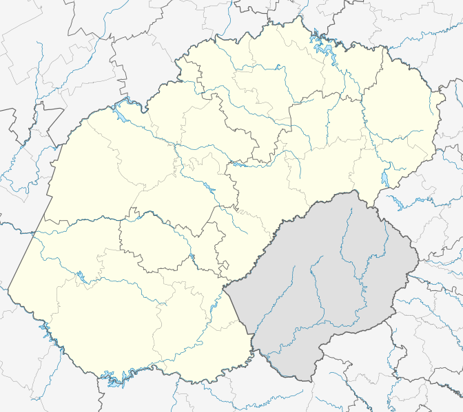
Fayl:South Africa Free State location map.svg

Size of this PNG preview of this SVG file: 672 × 599 piksel. Boshqa oʻlchamlari: 269 × 240 piksel | 538 × 480 piksel | 861 × 768 piksel | 1 148 × 1 024 piksel | 2 296 × 2 048 piksel | 1 130 × 1 008 piksel.
Asl fayl (SVG fayl, asl oʻlchamlari 1 130 × 1 008 piksel, fayl hajmi: 286 KB)
Fayl tarixi
Faylning biror paytdagi holatini koʻrish uchun tegishli sana/vaqtga bosingiz.
| Sana/Vaqt | Miniatura | Oʻlchamlari | Foydalanuvchi | Izoh | |
|---|---|---|---|---|---|
| joriy | 23:54, 2013-yil 5-yanvar |  | 1 130 × 1 008 (286 KB) | Htonl | == {{int:filedesc}} == {{Information |Description ={{en|Location map of the en:Free State Equirectangular projection, N/S stretching 114%. Geographic limits of the map: * N: 26.5° S * S: 31° S * W: 24.25° E * E: 30° E}} |Source = *... |
Fayllarga ishoratlar
Bu faylga quyidagi 3 sahifalar bogʻlangan:
Faylning global foydalanilishi
Ushbu fayl quyidagi vikilarda ishlatilyapti:
- af.wikipedia.org loyihasida foydalanilishi
- Bloemfontein
- Kroonstad
- Sasolburg
- Welkom
- Parys, Vrystaat
- Philippolis
- Bultfontein
- Trompsburg
- Rouxville
- Bethulie
- Bethlehem, Vrystaat
- Clarens, Vrystaat
- Fouriesburg
- Paul Roux
- Reitz
- Senekal
- Harrismith
- Kestell
- Lindley
- Wepener
- Golden Gate-Hoogland- Nasionale Park
- Clocolan
- Marquard
- Vrede, Vrystaat
- Memel, Vrystaat
- Arlington, Vrystaat
- Petrus Steyn
- Frankfort
- Villiers
- Cornelia
- Phuthaditjhaba
- Warden
- Ladybrand
- Ficksburg
- Rosendal
- Swinburne
- Tweeling, Vrystaat
- Zastron
- Excelsior, Vrystaat
- Hoopstad
- Sjabloon:Inligtingskas Nedersetting
- Jacobsdal
- Verkeerdevlei
- Winburg
- Botshabelo
- Vredefort
- Bothaville
- Jagersfontein
- Brandfort
- Koffiefontein
Ushbu faylni koʻproq global foydalanishdan koʻring.