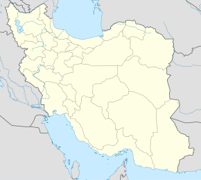
Kamolobod (Feruzobod)
Kamolobod (forscha: كمال اباد, romanizatsiyasi Kamālābād[2]) – Eronning Fors ustoni Feruzobod shahristoni Markaziy baxshi Ahmadobod dehistonidagi qishloq[3]. 2006-yilgi aholini roʻyxatga olish maʼlumotlariga koʻra, aholisi 57 ta oilada yashovchi 285 kishidan iborat[1].
Kamolobod كمال اباد | |
|---|---|
| Qishloq | |
| 28°50′23″N 52°28′48″E / 28.83972°N 52.48000°E | |
| Mamlakat | Eron |
| Uston | Fors |
| Shahriston | Feruzobod |
| Baxsh | Markaziy |
| Aholisi (2006) |
285[1] |
| Vaqt mintaqasi | UTC+3:30 |
|
| |
Manbalar
tahrir- ↑ 1,0 1,1 „Census of the Islamic Republic of Iran, 1385 (2006)“ (fa) (Excel). AMAR. The Statistical Center of Iran. 2011-yil 20-sentyabrda asl nusxadan arxivlangan. Qaraldi: 2022-yil 25-sentyabr.
- ↑ Kamalabad can be found at GEOnet Nom Serveri, at this link, by opening the Advanced Search box, entering "10069065" in the "Unique Feature Id" form, and clicking on "Search Database".
- ↑ Mousavi, Mirhossein „Creation and formation of 17 rural districts including villages, farms and places in a part of Firuzabad County under Fars province“ (fa). Research Center, the System of Laws of the Islamic Council of Farabi Library. Ministry of Interior, Council of Ministers. 2014-yil 2-iyunda asl nusxadan arxivlangan. Qaraldi: 2023-yil 7-dekabr.
